Optimize performance and safety of your offshore operations
with Metocean Analytics
Estimate your offshore operations’ weather downtime to optimize operational planning. It fits perfectly with the efficiency and productivity required by each phase of offshore projects: Bidding, Pre-feasibility, feasibility, Business Development, Offshore site first overview, Preliminary site characterization, and Offshore operation planning.

What is Metocean Analytics
Metocean conditions refer to the combined understanding of meteorological and oceanographic factors, including wind, waves, and currents, crucial in offshore coastal engineering and renewable energy projects. These conditions encompass meteorological elements like wind speed, air temperature, and oceanographic aspects such as water levels, temperature, and underwater depth. Key metocean scenarios include local winds, wind-generated waves, swells, surface currents from local storms, and deep-water currents influenced by basin circulation and site-specific factors.
Interest in Metocean Conditions:Understanding metocean conditions is vital for ensuring the success of marine projects, removing ambiguity in engineering specifications, and enhancing operational efficiencies and safety.
Benefits of Monitoring Metocean Conditions:Monitoring metocean conditions provides benefits such as accurate marine environment evaluation, efficient planning and design of offshore structures, and resource maximization by addressing delays caused by extreme weather.
Trends in Metocean Conditions Monitoring:Current trends involve digitization and tools like the Metocean Analytics Module, optimizing real-time data for increased productivity in offshore and coastal engineering projects.
Use Case
Weather Data
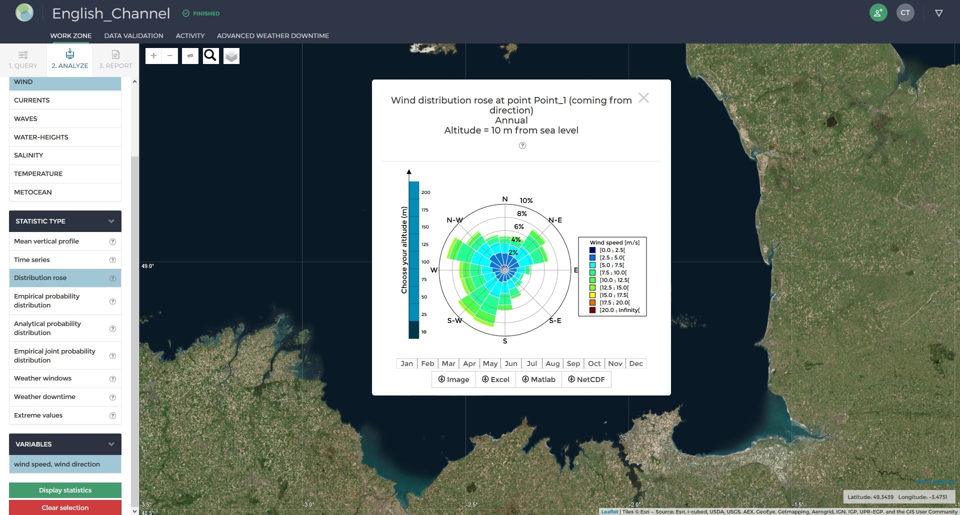
View and download the operational analysis of wind, wave, and ocean current data at selected locations.
The characteristics of the digital datasets associated with the quality control results and the methodology applied for each statistical calculation are detailed.
Generate a preliminary metocean analysis report with the content of your choice based on the previously computed statistical analysis.
Marine Contractors
To ensure the efficiency of port performance, and marine & offshore operations, marine contractors rely on state-of-the-art solutions, reliable data, and accurate analysis.
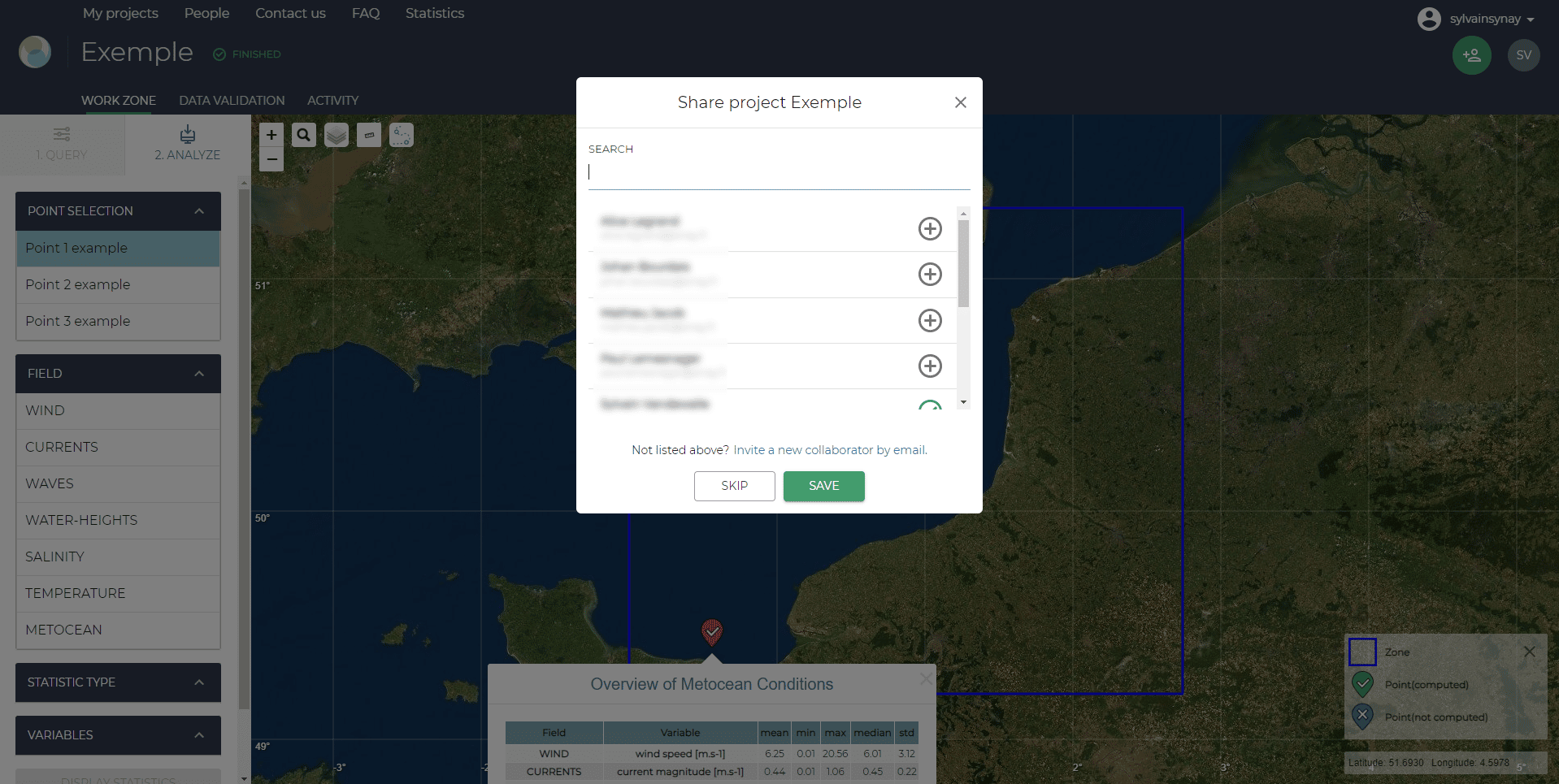
Metocean Analytics allows the creation of multiple projects. Multiple users can be on the same account, and share results and reports for efficient collaboration. This collaborative tool gives you access to track current and past projects, reports, and all collaborators’ comments thanks to an intuitive dashboard.
Enhance your operations with
Worlwide coverage
Analyze wind, wave, ocean currents, tidal currents, water height, temperature, and salinity at a global level.
Flexible choice of metocean analysis
Define and choose the average
conditions, the extreme value, the data
validation, and create specific reports.
Weather downtime
Analyze the data to know the weather downtime for all your complex operations.

Metocean Whitepaper
Download the Metocean whitepaper for more information:
Sustainable Development Goals




Sinay’s Metocean Analytics solution offers an innovative approach to gathering and monitoring metocean data for offshore projects, providing valuable insights and analysis to enhance the efficiency and safety of the industry. By utilizing cutting-edge technology, the solution delivers data on weather conditions & other environmental factors that impact offshore operations, enabling companies to make informed decisions that optimize project performance and reduce risk. This promotes sustainable practices and environmental consciousness, making it an essential tool in supporting the safety and preservation of marine biodiversity.
Customers testimonials
Martin Desbruyères
“Our teams in bidding, operation planning, and operations used to consult Meteocean data from the portal, modeling sea conditions on selected points. The exercise was time-consuming which restricted the investigations.
We now connected our GIS platform to Metocean Analytics, sending queries automatically to the platform based on data we have in our GIS system. Investigations can be more granular and much faster than used to be. It also facilitates the handover of analysis from one team to the other.
Planning and pricing can be better adjusted and more complete information can support our communication with customers to select the lay period or manage weather downtime risks.” Marine Bid Director, N-SEA
Our Products
Featured Content About Metocean

How to Monitor Metocean Data?
Metocean data is fundamental to the success of all marine offshore & renewable projects, from planning and exploration to design and implementation.
What is Metocean?
Metocean concerns understanding meteorological and oceanographic conditions in offshore coastal engineering or renewable energy projects.
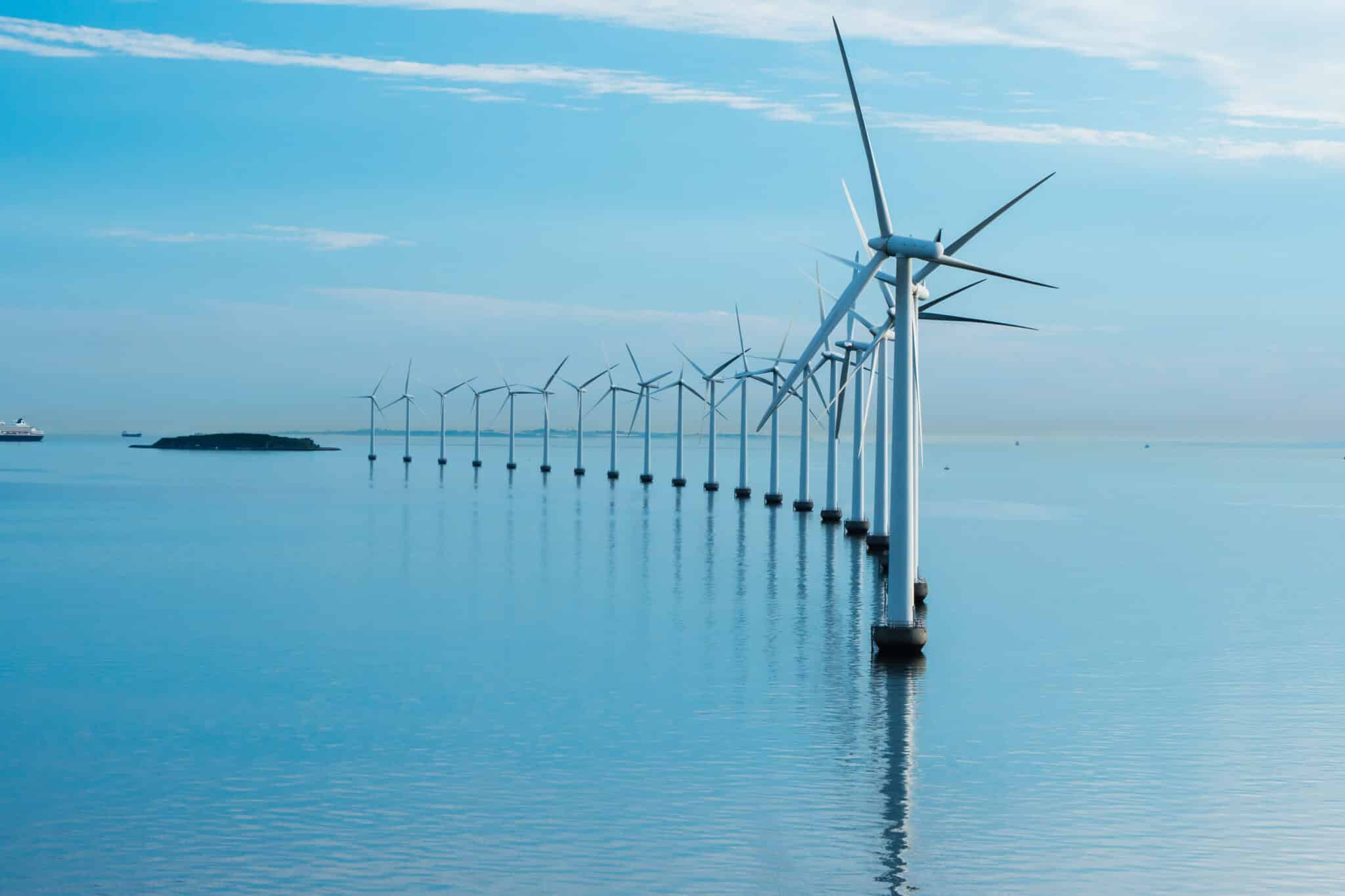
Does Offshore Wind Affect Marine Life?
Encouraging the use of offshore wind farms as a source of renewable energy is an important step toward becoming a greener, more sustainable world, and
What is Metocean Analytics?
The term “metocean” comes from the combination of meteorology and oceanography. Some weather, marine, environmental, and physical oceanography conditions affect some industries in various ways in their day-to-day business.
For marine sector stakeholders, knowing the environmental conditions supports faster strategic decision-making for maritime activities or projects. Harnessing high-quality metocean data may lead to designing tailored and efficient solutions against any challenges.
What are the type of data analyzed?
Various aspects are particularly useful in Metocean Analytics. A large selection of variables is then monitored in order to enable each industry or company to find personalized solutions or create a tailor-made strategy. Below is a list of the main parameters:
- water movements: sea-surface level, current speed, and direction, tide and surge variations;
- offshore wind: mean wind speed/strength, wind direction;
- sea state: wavelength and height, wave period, wave direction;
- water characteristics: depth, salinity, temperature;
- air temperature.
How is the data collected and where does it come from?
Meteorological and oceanographic data is acquired from various sources that are compiled for in-depth analysis:
- a multitude of buoy systems that are positioned in situ, under the sea surface, or on inland weather stations. These measuring instruments feature sensors that monitor the calibrated variables and then transfer the gathered information to a computer in a remote location.
- radars and satellite observations;
- drone technology;
- the Copernicus Marine Service provides free, open information on all aspects of the ocean state (physical, biogeochemical) for European regional seas and global oceans.
Data collection and analysis are conducted under international standards like ISO as well as the industry’s best practices.
How is the data analyzed?
A large amount of raw metocean data is not very helpful. To be understandable and exploitable by most people, values must be standardized, sorted, and then presented as a history of spatial and temporal fluctuations or used in realistic numerical modeling to make predictions. For example, It is possible to:
- map the water’s dynamic effects from a measuring point in a radius of one kilometer or more, to generate global, regional, or local wave models, tidal and current models, etc.
- track weather changes within a time interval (minutes, days, weeks, months, years) to evaluate the occurrence of the events and extrapolate them to get refined predictions.
A central dashboard allows easy reading of data and models.
Metocean Analytics, for whom?
Metocean statistics are of paramount importance for all organizations that carry out offshore activities of any kind and are highly dependent on the local weather. They help them to increase efficiency, cut costs and maximize benefits, become more sustainable, drive innovations faster and reduce risks.
Who can benefit Metocean Analytics?
On top of common benefits to all industries, metocean information has many applications that enable individual sectors to tackle major challenges they must struggle with.
For shipping lines
- Calculate the most accurate ETA;
- ensure the security of ships and crew.
For port operators
- study vessel maneuverability in terminal;
- better plan vessels’ arrival and departure to avoid slowing down or halting;
- allocate appropriate human and material resources to eliminate unnecessary weather downtime;
- minimize the duration of cargo loading/offloading.
For marine contractors
- assess the safety and operability of floating and fixed structures and other marine engineering projects;
- evaluate the impact of their projects on the marine environment and lessen their carbon footprint;
- evaluate the probability of extreme climate events that may prevent safe operations.
For oil and gas companies
- evaluate risks during initial exploration;
- study undersea pipeline feasibility;
- determine the suitable window for the transport and deployment of offshore structures.
For clean electricity producers
- assess the energy and yield potential.
- For inland transportation services providers
- anticipate the pick-up of cargoes, depending on the ships’ arrival and port terminal operations.
This list is non-exhaustive but shows how far it is possible to go with advanced metocean analytics. Any of these companies can access complete and accurate data via their own daily tools, using an API for quick and smooth integration. Then, the users will only have to select a geographical area or a specific location anywhere on earth and a timeframe to get the required local datasets in different formats within minutes. The downscaling enables a high-resolution representation.
What is an offshore project?
An offshore project is conducted in the open ocean, a few, or many kilometers from the coast. Here are a few examples:
- construction of wind farms, solar plants, or tidal and wave facilities that generate renewable energy;
- deployment of large-scale fixed/semi-submersible floating platforms that explore, drill, extract, and production of petroleum and natural gas, which are then transported to shore installations through pipelines or by tankers;
- building of bridges;
- reparation of offshore equipment…
What are the different phases that require the use of metocean data?
Metocean analytics contribute to increased efficiency across all stages of any offshore or coastal project: feasibility study, planning, design, construction or installation, operation, maintenance, and removal. The aim is to always access reliable information, whether historical, real-time, or forecast, and take relevant decisions with a high degree of precision and significantly improve services.
Latest Posts
Featured content about Logistics

Future-proofing your supply chain: harnessing the power of container tracking technology
Dive into the world of maritime terminals, from container to bulk and passenger terminals. Discover their roles, environmental challenges, and future trends.

Maximizing efficiency and cost savings: the power of container tracking alerts
Dive into the world of maritime terminals, from container to bulk and passenger terminals. Discover their roles, environmental challenges, and future trends.
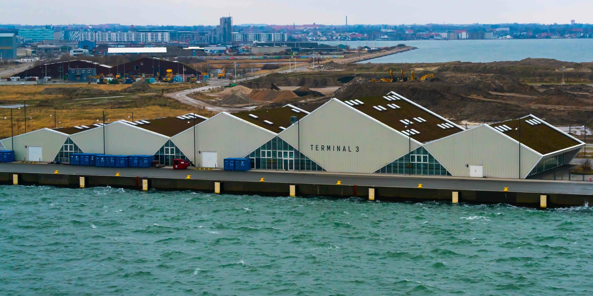
What are the different types of terminals in maritime transport?
Dive into the world of maritime terminals, from container to bulk and passenger terminals. Discover their roles, environmental challenges, and future trends.
Top Posts
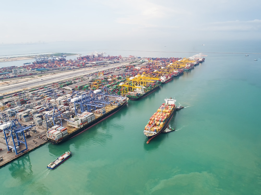
What is Artificial Intelligence in Smart Port Operations?
Understand the role of artificial intelligence in smart port operations and learn about its benefits and challenges. Discover the latest advancements and applications.
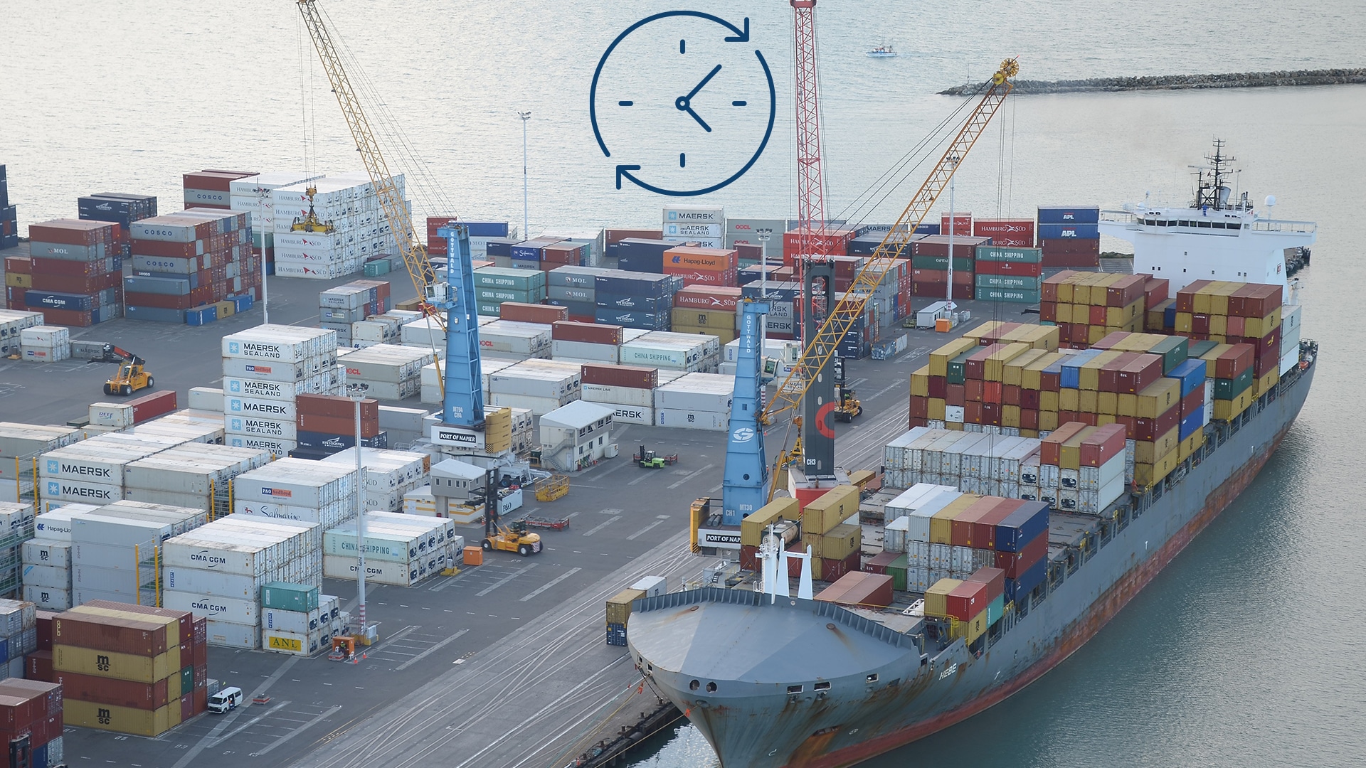
Port Efficiency and Vessel Turnaround Time
In ocean shipping, Vessel Turnaround Time- the time frame of arrival and departure of the vessel at a port- turns out to be the most

Vessel Route Forecasting: Predicting ETA and Increasing Fuel Efficiency
The world of maritime navigation is improving and evolving every day, focusing on increasing ship safety and the economic viability of all shipping operations. With


